Editor's Note: Take a look at our featured best practice, PowerPoint Maps of EMEA (49-slide PowerPoint presentation). A collection of over 25 PowerPoint maps of covering the regions of Europe, Middle East, and Africa (EMEA)--including country and regional maps. Maps are editable. Individual countries can be selected and colored.
This PowerPoint deck offers a comprehensive suite of maps for the EMEA region, [read more]
* * * *
Maps have been used for centuries to support people traveling across different landscapes, but they also serve essential functions related to other aspects of geography. In the family of maps, land parcel maps and plat maps hold an important place in the world of real estate and land management. Understanding how they differ from each other can help you make decisions about land use and ownership.
Using a land parcel map provides valuable insights into property boundaries and ownership details, which is crucial for anyone involved in real estate transactions, development planning, or resolving boundary disputes.
Understanding Land Parcel Maps
Land parcel maps are detailed maps showing property boundaries and the demarcation of land in a specific area. These are usually parish or city maps that detail information as property lines, parcel numbers, and the size of each parcel. This data is extremely important to property owners, developers, and lawyers who need accurate information on land ownership and boundaries.
Parcel maps may also provide information regarding easements, right-of-ways, and zoning. This helps users understand how land can be used, whether for residential, commercial, or other purposes. Parcel maps show a clear representation of property lines and aid in preventing land ownership disputes, resulting in better land ownership management.
Exploring Plat Maps
Plat maps also show the division of land, but in a different context. Plat maps illustrate how land will be divided into lots and are most often used during the planning and development stages of a subdivision. Developers and planners rely heavily on these maps, which detail how a new development would be laid out, including streets, plots, and public spaces.
When a plat map is approved by local authorities, it becomes a legal document that guarantees the subdivision follows certain guidelines and requirements. Plat maps serve as blueprints for development, construction, and infrastructure implementation to ensure new communities are built according to specifications.
Key Differences between Parcel and Plat Maps
Although both types are maps of land, there are significant differences between them. Parcel maps generally show existing land divisions, whereas plat maps show proposed subdivisions. Parcel maps only display current property lines and boundaries, while plat maps represent a plan for future development.
They also serve a different purpose. Parcel maps are often used for legal and administrative purposes, helping track transactions between two owners or settle conflicts. Plat Maps, on the other hand, promote planning and development and ensure that new subdivisions can comply with regulatory requirements.
Applications in Real Estate and Land Management
Understanding the differences between land parcel maps and other types of maps helps professionals working in the real estate and land management fields. Parcel maps help real estate agents provide potential buyers with accurate information about property boundaries and ownership. With this level of clarity, investors can better assess whether their purchase is prudent and evaluate what lies before them.
Plat maps are a starting point for developers creating new communities. Because they provide an overview of lots and other infrastructure, these maps ensure that developments are constructed appropriately and to code. Land use planners, management professionals, and architects use plat maps to organize communities in ways that promote more livable and practical property usage, defining zones over time.
Legal and Jurisdictional Implications
Parcel and plat maps both have legal elements involved in the use and sale of property. With clear property boundaries, accurate parcel maps minimize the chances of disputes and legal challenges. These maps are used by legal professionals to validate land ownership and address boundary conflicts.
After a plat map becomes an enforceable document that determines how a subdivision is to be developed. They offer guidelines to developers that help ensure consistency in land use and zoning. This level of legislative assurance protects both developers and prospective residents, facilitating an organized pattern of growth and development.
Conclusion
Understanding how land parcel maps differ from plat maps is essential in real estate and land management. Although land division is the basis for both maps, their objectives differ, and various professions utilize them. Parcel maps show what already exists on a property, while plat maps show what will be developed on a property. Differentiating between these types of maps helps people understand the distinct roles each plays in decision-making and encourages efficiency in land planning and management. Mastering the nuances of these maps can lead to better planning and, ultimately, better-organized communities.
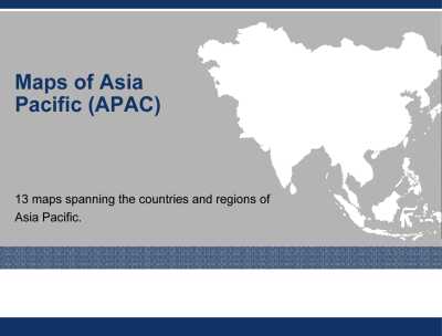
13 PowerPoint maps spanning the countries and regions of Asia Pacific. Maps are editable. Individual countries can be selected and colored.
This comprehensive PowerPoint deck includes detailed maps of the Asia Pacific region, featuring individual countries and their respective states and [read more]
Do You Want to Implement Business Best Practices?
You can download in-depth presentations on PowerPoint Map Diagrams and 100s of management topics from the FlevyPro Library. FlevyPro is trusted and utilized by 1000s of management consultants and corporate executives.
For even more best practices available on Flevy, have a look at our top 100 lists:
These best practices are of the same as those leveraged by top-tier management consulting firms, like McKinsey, BCG, Bain, and Accenture. Improve the growth and efficiency of your organization by utilizing these best practice frameworks, templates, and tools. Most were developed by seasoned executives and consultants with over 20+ years of experience.
Readers of This Article Are Interested in These Resources
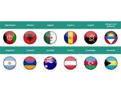
A complete set of Flags of all 196 countries of the World in 3D Circular Button Format for easy use on your PowerPoint slides.
This PPT provides a visually engaging way to represent global diversity with 3D circular flag, buttons. Each flag is meticulously designed to maintain accuracy and visual [read more]
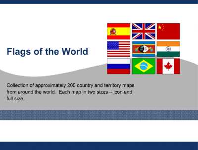
Collection of approximately 200 country and territory flags around the world in PowerPoint. Each flag in two sizes--icon and full size.
This PowerPoint template includes a comprehensive collection of country flags, meticulously designed and presented in high resolution. Each flag is available in [read more]
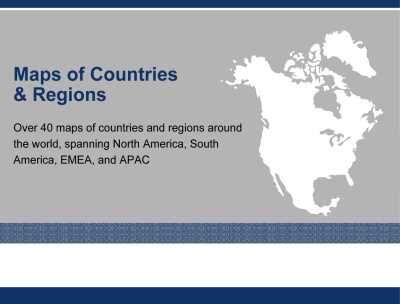
Over 40 maps of countries and regions around the world, spanning North America, South America, EMEA, and APAC, as PowerPoint templates. Maps are editable. Individual countries can be selected and colored.
These PowerPoint maps offer a comprehensive visual tool for presenting geographic data with [read more]
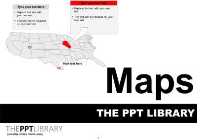
This document is a collection PowerPoint maps that you can use within your own presentations.
This PowerPoint library offers a comprehensive collection of editable maps, tailored for professionals who need to present geographic data effectively. Each map is meticulously designed to highlight [read more]
 Maps have been used for centuries to support people traveling across different landscapes, but they also serve essential functions related to other aspects of geography. In the family of maps, land parcel maps and plat maps hold an important place in the world of real estate and land management. Understanding how they differ from each other can help you make decisions about land use and ownership.