
Maps Pack 1 - Infographics, Result Display, Data Driven – PowerPoint PPTX Template
PowerPoint (PPTX) 382 Slides
BENEFITS OF THIS DOWNLOADABLE POWERPOINT DOCUMENT
- 26 Social Media PowerPoint Icons (fully editable in PowerPoint)
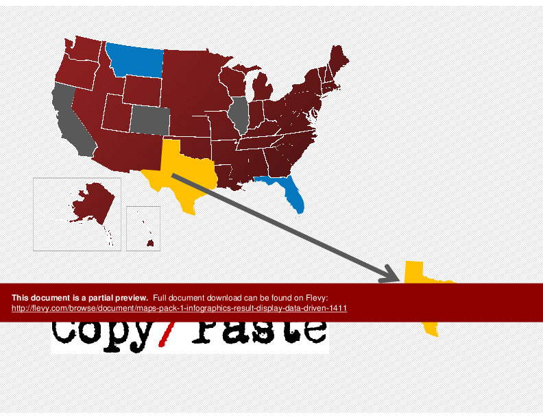
- Copy and Paste from main map to get states, provinces, or other countries
- Fully editable - No Photoshop needed
POWERPOINT MAP DIAGRAMS PPT TEMPLATE DESCRIPTION
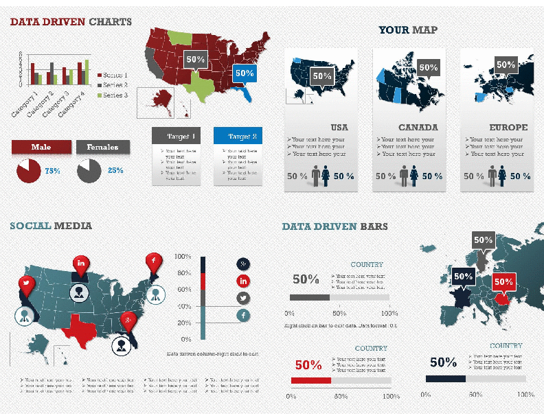
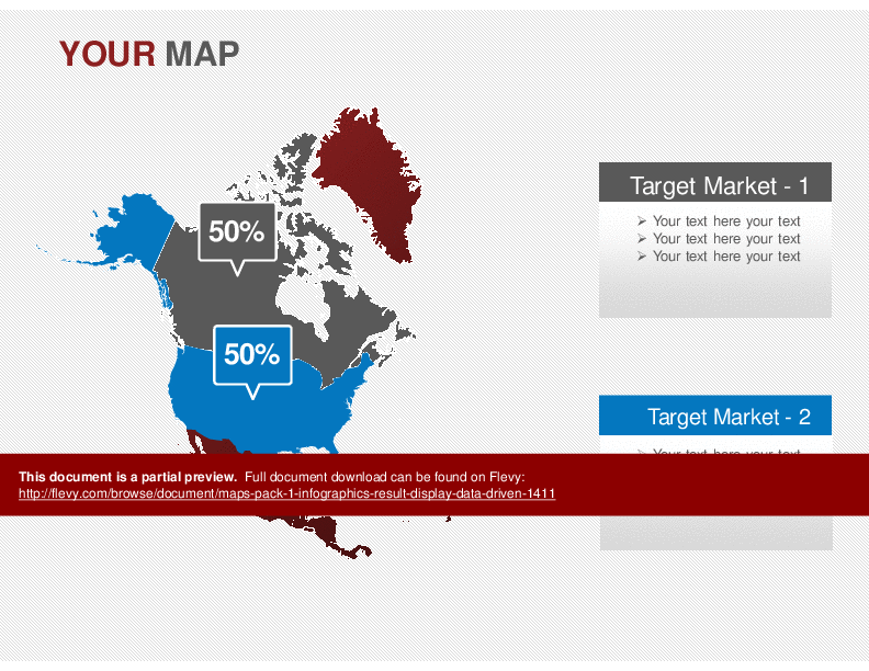
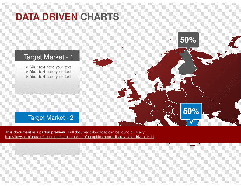
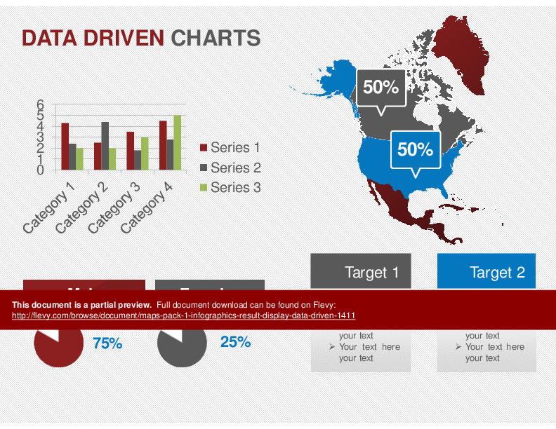
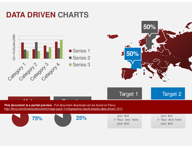
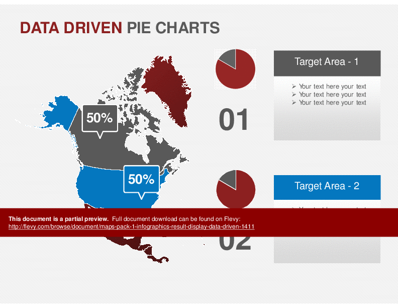
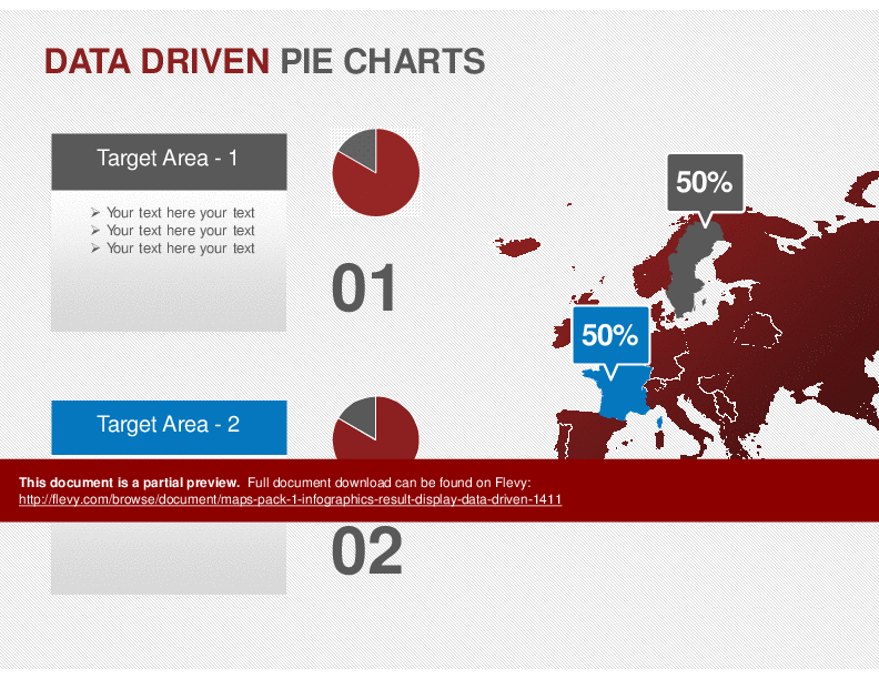
Fully Editable Maps: USA, Canada, Europe, North America, and World.
Excellent slides for Results Display or Planning.
Copy and Paste from main map to get states, provinces, or other countries.
Size: 4:3
8 Color Combinations – Corporate Colors
44 Unique Layouts
Total Slides:352
Data driven charts : Insert data and graphic will be redrawn.
Info-graphics style slides
Library for all colors:
26 Social Media PowerPoint Icons (fully editable in PowerPoint)
Pins and pin flags
21 Harvey Balls : pre-made 50% full, 25% full etc... (copy and paste – no drawing needed)
Fully editable – No Photoshop needed
Projector tested
Change all colors with one click in Design menu/color schemes on all slides at the same time
Colors match with our other products. Mix and match to create your full presentation.
Got a question about the product? Email us at support@flevy.com or ask the author directly by using the "Ask the Author a Question" form. If you cannot view the preview above this document description, go here to view the large preview instead.
Source: Best Practices in PowerPoint Map Diagrams PowerPoint Slides: Maps Pack 1 - Infographics, Result Display, Data Driven PowerPoint (PPTX) Presentation Slide Deck, Marketingdocs
