PowerPoint Maps of Central and South Americas (PowerPoint PPT Slide Deck)
PowerPoint (PPT) 10 Slides
POWERPOINT MAP DIAGRAMS PPT DESCRIPTION
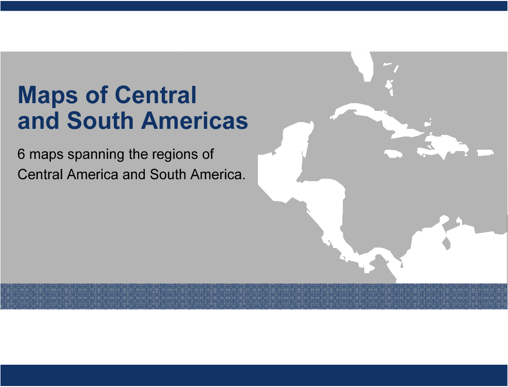
A collection of 6 PowerPoint maps spanning the regions of Central America and South America. Maps are editable. Individual countries can be selected and colored.
Enhance your presentations with our meticulously crafted PowerPoint maps of Central and South America. Each map is designed for ease of use, allowing you to highlight specific countries and regions with precision. These editable maps are perfect for strategic planning, market analysis, and regional reporting.
Our maps cover key areas including Central America, South America, and individual countries like Brazil. The clean, professional design ensures your data is presented clearly and effectively. Tailor the maps to your specific needs by selecting and coloring individual countries, making your presentations more engaging and informative.
Ideal for executives and business leaders, these maps provide a powerful tool for visualizing geographic data. Whether you're presenting to stakeholders or conducting internal analysis, our PowerPoint maps will help you convey your message with impact and clarity.
Got a question about the product? Email us at support@flevy.com or ask the author directly by using the "Ask the Author a Question" form. If you cannot view the preview above this document description, go here to view the large preview instead.
Source: Best Practices in PowerPoint Map Diagrams PowerPoint Slides: PowerPoint Maps of Central and South Americas PowerPoint (PPT) Presentation Slide Deck, LearnPPT Consulting


