Powerpoint Library - Maps (PowerPoint PPTX Slide Deck)
PowerPoint (PPTX) 28 Slides
BENEFITS OF THIS POWERPOINT DOCUMENT
- Editable PowerPoint maps covering various regions of the world
- World Maps
POWERPOINT MAP DIAGRAMS PPT DESCRIPTION
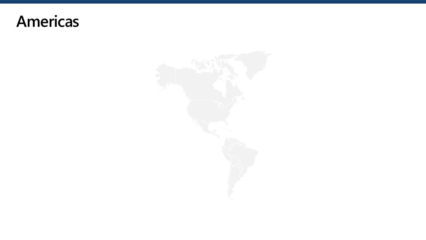
This product provides an extensive collection of PowerPoint maps covering various regions of the world, including Europe, the Middle East, and Africa (EMEA). With over 25 editable maps, this resource is ideal for businesses, educators, or anyone who needs to create presentations that require geographic visual aids.
They can be easily edited to fit the specific needs of the user, allowing for customization of colors, fonts, and other design elements. This level of flexibility makes it possible to create unique and engaging presentations that capture the attention of the audience.
One of the key features of this product is its ease of use. Whether you are an experienced PowerPoint user or a novice, the maps can be easily inserted into your presentations and customized to fit your specific needs. This makes it possible for anyone to create professional-looking presentations with ease.
Overall, this collection of PowerPoint maps is an essential resource for anyone who needs to create presentations that require geographic visual aids. With its extensive range of maps, ease of use, and excellent value for money, this product is a must-have for any professional, educator, or student who wants to create high-quality presentations that capture the attention of the audience.
Got a question about the product? Email us at support@flevy.com or ask the author directly by using the "Ask the Author a Question" form. If you cannot view the preview above this document description, go here to view the large preview instead.
Source: Best Practices in PowerPoint Map Diagrams PowerPoint Slides: Powerpoint Library - Maps PowerPoint (PPTX) Presentation Slide Deck, Jair Almeida


